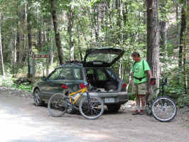
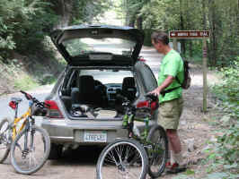
 Parked
at the East end of the trail (just off the turning to Mountain House at
Goodyear Bar, off hw-49) Parked
at the East end of the trail (just off the turning to Mountain House at
Goodyear Bar, off hw-49) |
 |
 <sigh> <sigh>
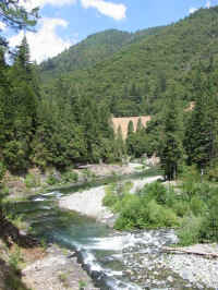
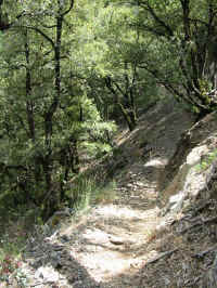
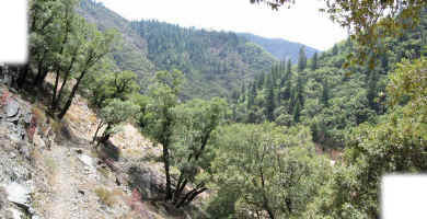
One of many views to force yourself to get used to... |
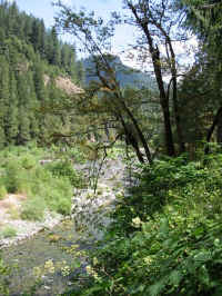 ...and
another... ...and
another... |
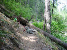 Trail
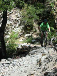
obstacle... (that and the 150' section of washed out trail after it) Trail
obstacle... (that and the 150' section of washed out trail after it) |
 ...so
you make the trail go around it... ...so
you make the trail go around it... |
 ...and
another... ...and
another... |
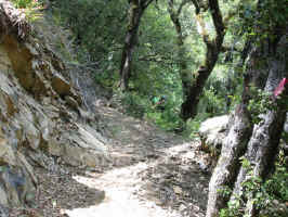
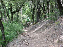 At
least 90% of the trail is uphill on shale... seemingly... especially when
it’s hot in August... At
least 90% of the trail is uphill on shale... seemingly... especially when
it’s hot in August... |
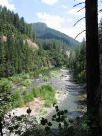
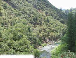
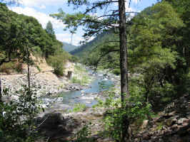 In
this pic, you can see hw-49 paralleling the river on the opposite bank. In
this pic, you can see hw-49 paralleling the river on the opposite bank. |
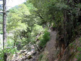 Sometimes
the trail dips close to the river, and other times you are several hundred
feet above it. Sometimes
the trail dips close to the river, and other times you are several hundred
feet above it. |
 |
 |
 |
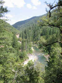
 Another
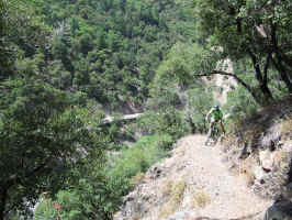
view of hw-49 far below on the opposite bank. Another
view of hw-49 far below on the opposite bank. |
 (beware,
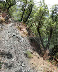
this link is quite large) - but plainly shows the uphill shale... oh, and
the rather attractive poison oak in the foreground. (beware,
this link is quite large) - but plainly shows the uphill shale... oh, and
the rather attractive poison oak in the foreground. |
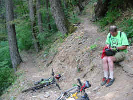
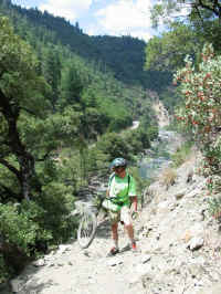
 After
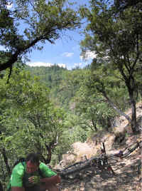
Patrick's chain fell off the for fifty-seventh time, he decided it was
time for a sit in the shade. After
Patrick's chain fell off the for fifty-seventh time, he decided it was
time for a sit in the shade. |
 trail
• river canyon • hw-49 trail
• river canyon • hw-49 |
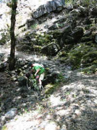 A
spot where it is better to concentrate on the trail rather than listen to
your wife babbling (of course it was my fault...) A
spot where it is better to concentrate on the trail rather than listen to
your wife babbling (of course it was my fault...) |
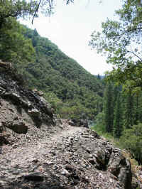 More
shale... More
shale... |
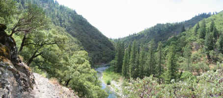
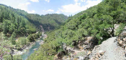 From
the same spot: From
the same spot:
hw-49 • river canyon • trail (looking up-river, East) |
 From
the same spot: From
the same spot:
trail • river canyon • hw-49 (looking down-river, West) |
 ...rocks... ...rocks... |
|
 (Smaller
version) (Smaller
version)
(Bigger version) |
|
 |
|
 Too
hot... Too
hot... |
|
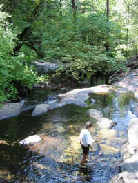 Most
excellent wading pools to cool off in, at the Fiddle Creek campground end
of the trail Most
excellent wading pools to cool off in, at the Fiddle Creek campground end
of the trail |
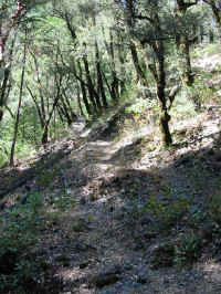 Trail Trail |
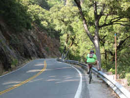 Despite
our best intentions, spending the afternoon slogging uphill through shale
and rocks in 100° heat meant that returning via hw-49 seemed like a good
prospect... (call me a wimp) Despite
our best intentions, spending the afternoon slogging uphill through shale
and rocks in 100° heat meant that returning via hw-49 seemed like a good
prospect... (call me a wimp) |
|
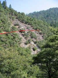 View
of the trail (red line) from hw-49 View
of the trail (red line) from hw-49 |
|
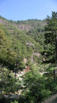 The
trail’s there somewhere... I'm just not sure where.. The
trail’s there somewhere... I'm just not sure where.. |
|
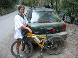 That's
me done. That's
me done. |
|
 (beware,
this link is quite large) - but plainly shows the uphill shale... oh, and
the rather attractive poison oak in the foreground.
 After
Patrick's chain fell off the for fifty-seventh time, he decided it was
time for a sit in the shade.
 trail
• river canyon • hw-49
 From
the same spot:
 From
the same spot:
 (Smaller
version)

 View
of the trail (red line) from hw-49
 The
trail’s there somewhere... I'm just not sure where..