Confluence - Lake Clementine Loop
7 November 1999

The best way to do anything you think might be hard, is to trick yourself into it. 

Patrick and I had read the write ups on the trails in the American River Canyon and they all mentioned nasty things like “...goes up vertically for 1000'...” etc, etc... Going up 1000' under my own steam isn't exactly my idea of fun, so these type of trails were being studiously avoided if at all possible. 

But it's so pretty around there and hard to resist. Come Saturday, we took the ponies up the hill and rode out from Cool along the High Trail and had a great time. On the way home I was snapping pictures out of the window and caught sight of the Confluence Trail perched on its ledge on the opposite side of the river and decided maybe we should just cycle around on those trails - not to do a loop or anything, you understand - just to explore the area a bit and see what's there... So Sunday morning, we flopped out of bed, stuck the bikes in the back of the truck and set off up the hill again. 

I've lived in several countries, but every time I go up to the American River Canyon, I remember why it is that I'm not likely to be moving again soon.

We dropped into the bottom of the canyon and parked up along Old Foresthill Road on the right. Everyone seemed to be heading north along the North Fork, so we opted to follow the Middle Fork for a ways and see what it was like...


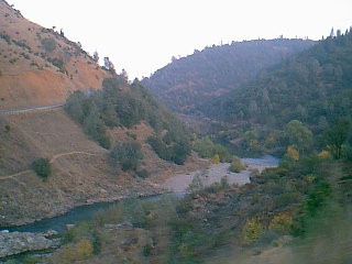
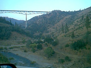
Coming down hw-49 from Cool the previous afternoon, looking across to Foresthill Bridge and the confluence of the North and Middle Forks of the American River. You can see the Confluence Trail cut into the side of the hillside 50' or so above the river on the lower right side of the picture.
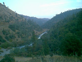
 

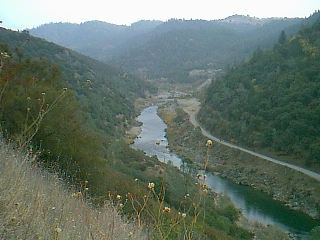
Same area with your head swivelled to the right - this is looking further east along the Middle Fork. Keep going for ten miles, and you get to Poverty Bar

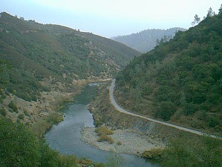
The Middle Fork. Again, you can see the Confluence Trail on that little ledge half way between the river and Old Foresthill Road. 

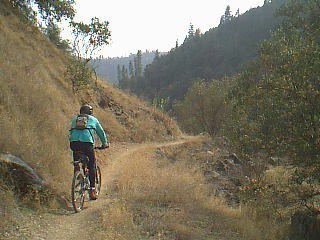
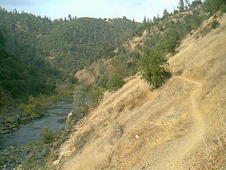
Riding on ledges when you're not warmed up yet is very disconcerting. I squawked a lot and got off and walked a good portion of this first part of the trail, and wished for a horse to ride (horses are a lot less wobbly and not nearly so likely to go plummeting over the edge, as I felt I was likely to when my tyre bumped into the next rock).
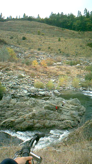
Peering over the edge, into the depths of the River, past the people frolicking on the rock, and up past hw-49 to the horse trail above. If you have eagle eyes, you can see a grey horse just below the tree line on the middle- right at the top.

This photo doesn't really work to show what's going on with regard to going-down-ness and going-up-ness. Where's my IMAX camera when I need it?


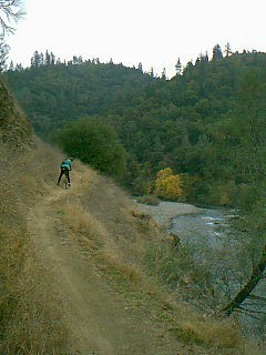
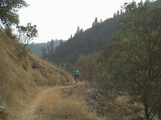
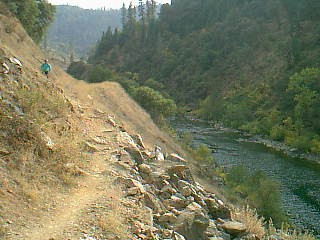
Patrick busily cycling along the bit I mostly walked...and then stopping to suggest that maybe I would be more comfortable if walked this bit. 
Yup. He was right. <grin>

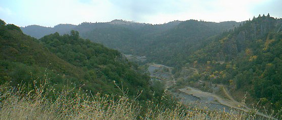
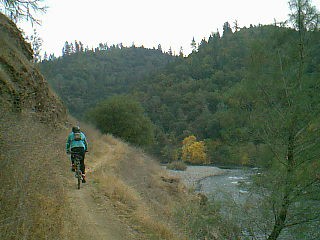
Further along the trail - we going higher and higher and will eventually end up on top of that hillock on the left, above Mammoth Bar OHV park. Down on the opposite bank is the river road which is part of the lower Western States Trail which runs east 80 miles or so all the way to Lake Tahoe.

Most people apparently opt to do the Lake Clementine - Confluence Loop in a clockwise direction from the bottom, so that they can gonzo-downhill the Confluence Trail section, but personally I really liked doing it anti-clockwise because the uphill was gradual and, most importantly, *doable*, so you didn't end up a demoralised, puffing, limp person half-way up, who had no desire to be there, let alone finish the trail.

But of course we weren't going to do the whole trail, were we...? oh no, we're just exploring, remember? We don't want to go the whole 1000' up...
 

Nearly at the top (trickery, trickery, trickery). 
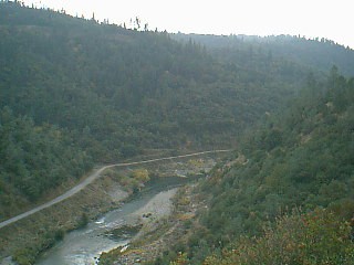


Here we're looking down at the Quarry - used as the penultimate vet check on the Tevis Cup 100 miles horse endurance ride which is held on the WST every year. They also have a human foot race. Now that *is* insane.

Looking back the way we've just come.

Patrick says we have to go back and take more pictures, because these don't show how rocky and tricky the trail was. Hardly surprising - how am I supposed to take photos and ride on a rocky, tricky section? Too hard.

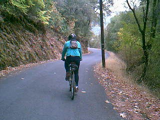
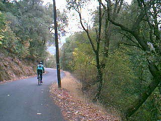
Now we've crossed Old Foresthill Road and Foresthill Road, gone over the ridge, and we're heading down Lake Clementine Road. 
 

You really zip down this section and get chilly because you're all damp from the slog up the hill.

We opted to ride along the top of Mammoth Bar OHV area for a while, before cutting over the ridge. However there are several options available to you at this point. Either way, you still have to go up and over and the last bits are guaranteed to get you puffing (or walking, if you're me <grin>).


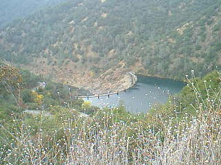
Lake Clementine Dam

Still on Lake Clementine Road, looking down at the dam.


This picture is for my Mum who was visiting a few weeks ago and was fascinated by these potato trees.
She wants us to paint them all red for Christmas.


A bit further down - we're off the paved part of the road now (it's only a mile or so long) and trundling along the
last part. We met lots and lots of other bikes, plus some people with a really neat italian greyhound dog. Lucy
gets dewy eyed and wonders if “Sparky” (Lucy's fictitious non-existent dog that will one day live at our house)
should be an italian greyhound...

You can just see Foresthill Bridge in the top left hand corner.


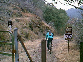
Half way down the paved road you turn left and squeeze between the two posts next to the gate.

Better to turn here, or you'll end up right at the bottom and have to cycle back up again. Glurk.
 

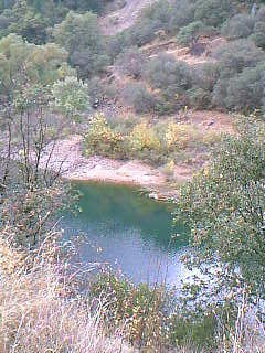
North Fork

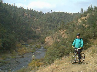
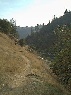
Looking back along the trail - it gets narrow again here, after being on two-track for a while.
 

Nearly back at the confluence...


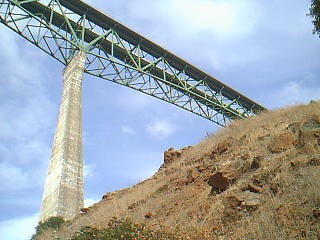
Wheeeeee... looking up at Foresthill Bridge 750' above you.
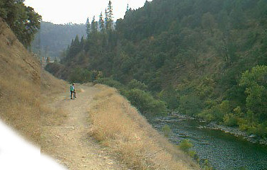
Looks like the trail eroded away here, but they've done a good job fixing it up solid again.


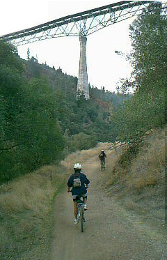
I admit it, this is a fake photo... I'm actually going back the way we've come towards the FH Bridge for the purposes of artistic value, OK?


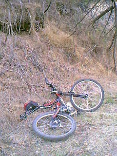
What's this? A discarded Beast, just lying 
here for us to find? 

...uh. No, it's Patrick's Best Beloved...

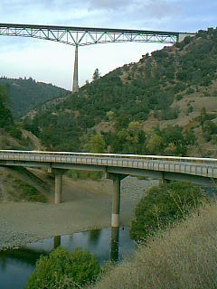
Foresthill Bridge and Old Foresthill Road Bridge - the start of lots of bike trails around here.

You can get maps from the Auburn State Recreation Area office half way down the canyon on hw-49 from Auburn. They have an *excellent* one for $8, which shows the topo lines, as well as every trail in the Park - miles and miles and miles of them. Definitely worth having to maximise your pleasure (and allow you to pick only trails that *don't* go up 1000').

After our slog of, what, 9 miles maybe? we were sad to be finished. It's a pretty, fun, hard trail, with lots of freewheeling easier bits to cheer you up. Difficult enough to keep you busy, but not so much that you are off and walking the whole time. 
 

Next time we'll probably spend more time playing at the top, exploring the Fire Break Trail up there and trying some of the short cuts linking the various parts of trails - definitely worth having that map.


Should you want more information that might actually help you get there or figure out what you're
doing when you arrive - try: http://shay.ecn.purdue.edu/~bymaster/muni/clemen.html


For more about the Trumbulls, see: http://www.calweb.com/~elsie and http://www.calweb.com/~trouble
Or for various other trails - horse and mountain bike: http://members.xoom.com/ridephotos/trails.htm

elsie@calweb.com
9 November 99