
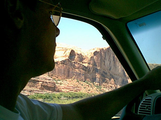
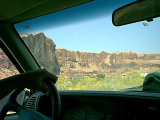

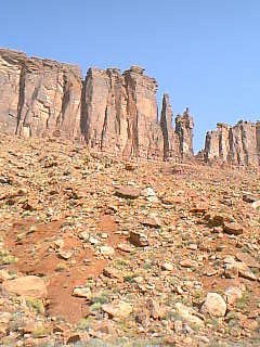
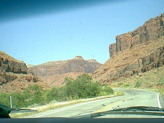
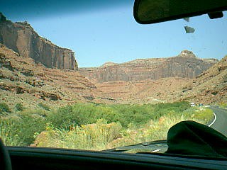
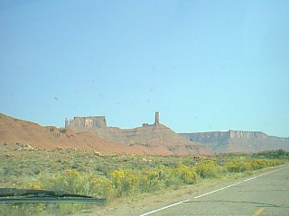
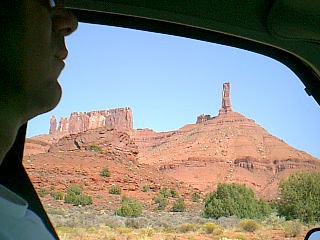
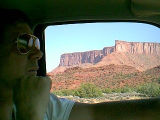
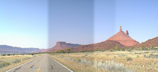
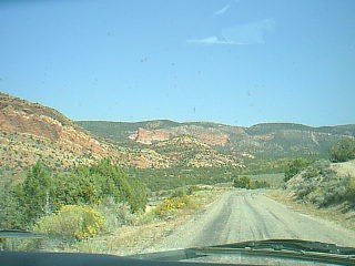
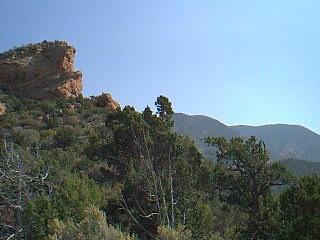
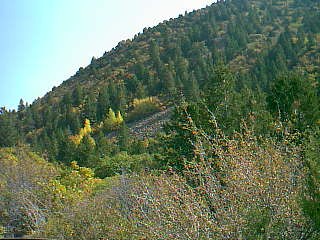
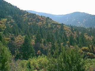
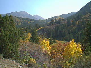
At the end of the valley there's a peculiar area that is green, but deserty. It's a transition area between the high desert and the even higher (12,000 ft) wooded slopes of the La Sal mountains.
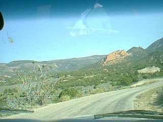
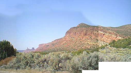
Looking back into Castle Valley

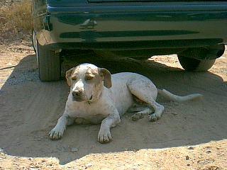
| Jake, the one of the Tomahawk
B&B dogs.
|
 |
|
 |
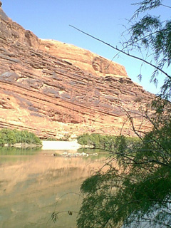
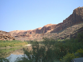
Going east from Moab, along the Colorado River  |
|
|
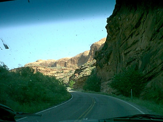
Here the Colorado River cuts its way through a narrow
gorge in entrada sandstone. The trick is to not gawp and stay on the road.
|
 |
|
 |
 |
|
 |
Looking up at Shrimp Rock (see Slickrock Trail for the view down). The Slickrock trail is on top of this cliff. | |
 |
||
 |
 |
|
 |
This is Castle Valley, which is the next big canyon valley east of Moab. It filled with horse properties and is where we would live if we could stomach the cold Moab winters... which we can't. Oh well. | |
 |
 |
|
 |
||

At the end of the valley there's a peculiar area that is green, but deserty. It's a transition area between the high desert and the even higher (12,000 ft) wooded slopes of the La Sal mountains. |

|
|

Looking back into Castle Valley |
||
 |
 |
|
 |
 |
|
 |
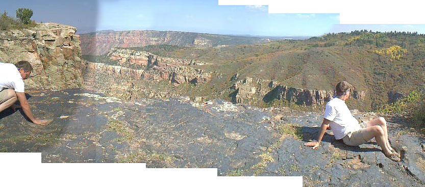
Winding our way over the northern end of the La Sal mountains. | |
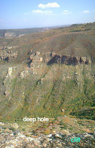 |
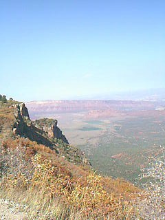
As cliff's go, it was pretty spectacular. It's several hundred feet straight down, looking into Fisher Valley. | |
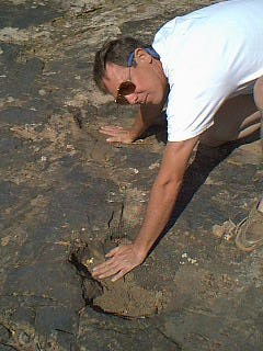
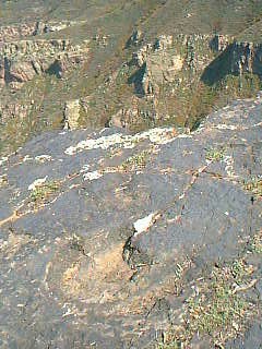 The
dinosaurs were the three-toed variety - Ornithopods
(lil' vegetarian dinosaurs - about 6-7 feet tall - that stand on their
back legs, as opposed to hulking great, yomping teethed, bone crunchers
like T-Rexs). Evidently they ran about a lot, judging by these footprints
going all over. The
dinosaurs were the three-toed variety - Ornithopods
(lil' vegetarian dinosaurs - about 6-7 feet tall - that stand on their
back legs, as opposed to hulking great, yomping teethed, bone crunchers
like T-Rexs). Evidently they ran about a lot, judging by these footprints
going all over. |
||
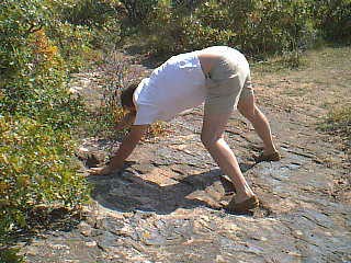
Patrick doing the customary dinosaur imitation, complete with trunk
(look carefully).
|
 |
|
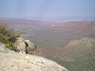
Fisher Valley |
||

 |
||
 |
 |
|
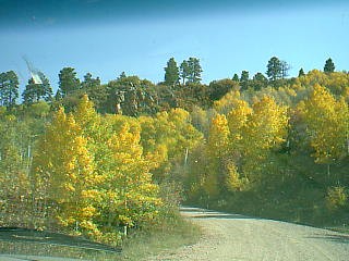
| Quiverin' Aspen... and they *were* quivering! That's the first time I've ever seen them really doing it. | ||

Looking back toward the cliffs (left).
 |
 |
|
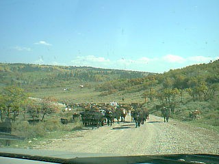
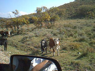
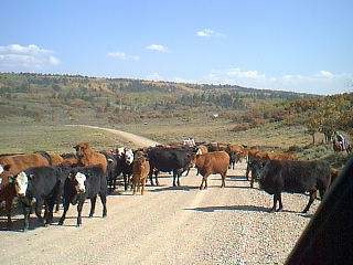
Cattle round up, with real cows and horses...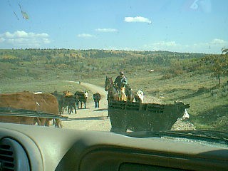 |
 |
|
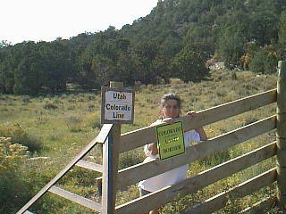
Colorado Stateline. Ah ha! Cross another state off the list... bin there, done that... |
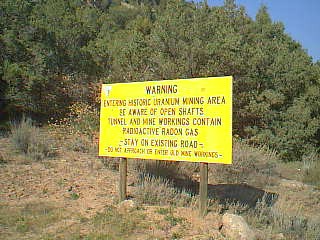
Most of the roads we were driving on in the mountains were old uranium
mining roads. Back
in the 50s there was a lot of money in uranium mining and it was the major
industry in the area. Then the price dropped and it became less economically
viable to mine the stuff, uranium mining dwindled off and the area went
into a slump - until the bicyclists turned up, that is...
|
|
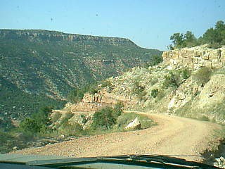
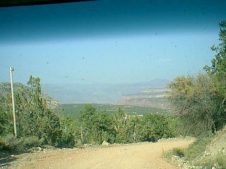
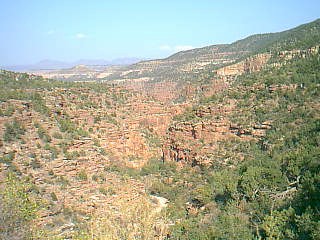
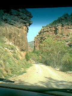
When we started up this road, we didn't know it was going to turn to dirt... and we didn't know it was going to turn into a 20% vertical grade straight down into the canyon. |
 |
|
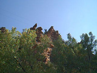
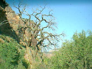
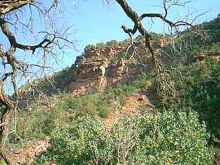
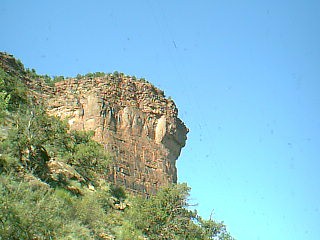
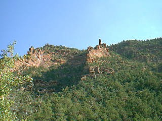
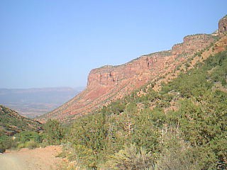
Down at the bottom, in the narrowest part of the canyon
- photos looking up at the vertical rock walls.
|
 |
|
 |
 |
|
 |
 |
|
 |
 |
|
 |
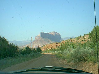 |
|
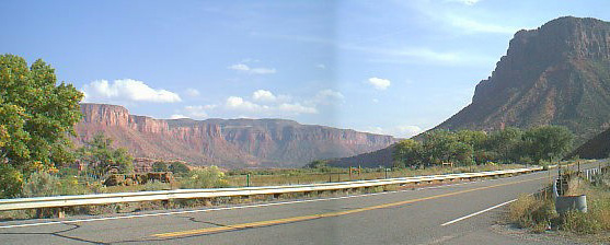 The
Gateway valley The
Gateway valley |
||
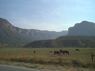
...looking back the way we just came down. |
 |
|
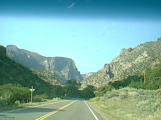
Coming along this valley, I said to Patrick “It looks a bit like Yosemite...”
|
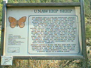
...and then we came across this sign for the Unaweep Seep which says (if you squint) “Unaweep Canyon is nearly one mile deep here. Early map-makers first noted a similarity between the scenery here and that of Yosemite to the west”. Hah! |
|
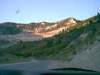
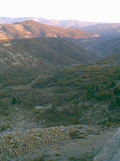
Going up Douglas Pass to the north of Grand Junction, at sunset. |
 |
|
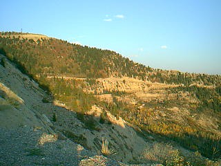
Good motorcycle road.
|
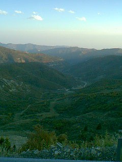 |
|
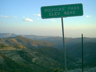 |
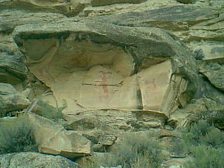
Rock paintings left by the indians. The ones in this valley were first documented in the 1700s by a westerner - some religious chap, no doubt sent here to convert the natives, or some such. This one is of Kokopelli - the flute player, who figures highly throughout native drawings in this area. |
|
Onwards, the next day, to Dinosaur National Monument and home again.